GIS3015 Map Catalog
Monday, November 21, 2011
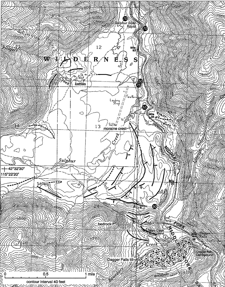
Topographic Map
1.
http://imnh.isu.edu/digitalatlas/geog/basics/topo.htm
This is an example of a topographic map of the Salmon River. It has visible contour lines that indicate elevation. It shows that the river and creeks are in a valley surrounded by areas of high elevation on all sides.
No comments:
Post a Comment
Newer Post
Older Post
Home
Subscribe to:
Post Comments (Atom)

No comments:
Post a Comment