GIS3015 Map Catalog
Monday, November 21, 2011
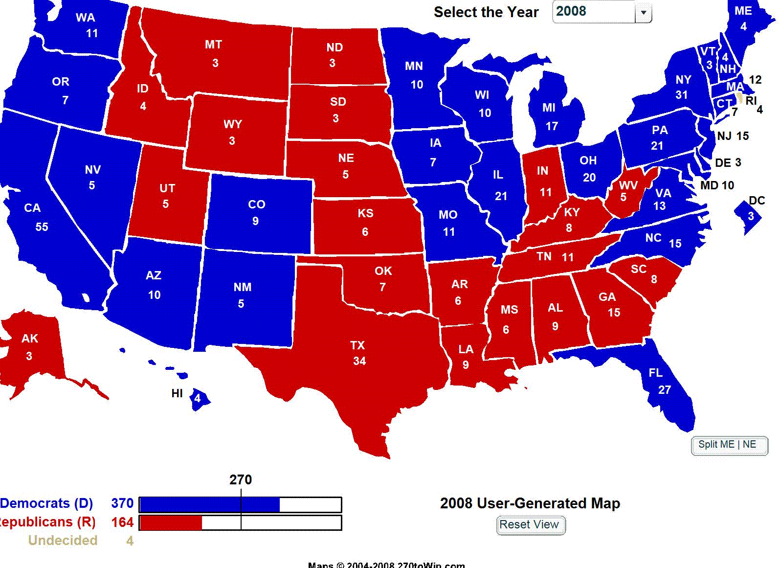
Choropleth Map
1.
http://theblackberryalarmclock.com/2011/07/06/obama-could-lose-in-36-states/
This is an example of a choropleth map because it depicts the percentage of votes cast in the United States in the 2008 presidential election and each party is represented by shades of red or blue.
No comments:
Post a Comment
Newer Post
Older Post
Home
Subscribe to:
Post Comments (Atom)
No comments:
Post a Comment